March 7, 2023
Geospatial data analysis is vital to determining eligibility for deforestation and reforestation projects. But gathering the datasets and conducting the analysis is complex and time-consuming.
In this practical webinar, net-zero scientist Dr Genevieve Patenaude, and Earth observation professor, Iain H Woodhouse, demonstrate how key questions in the project suitability assessment stage can be answered in minutes using geospatial data on Earth Blox.
Learn how to:
- Identify areas of forest for potential investment
- Assess land-use history and current situation of the project area
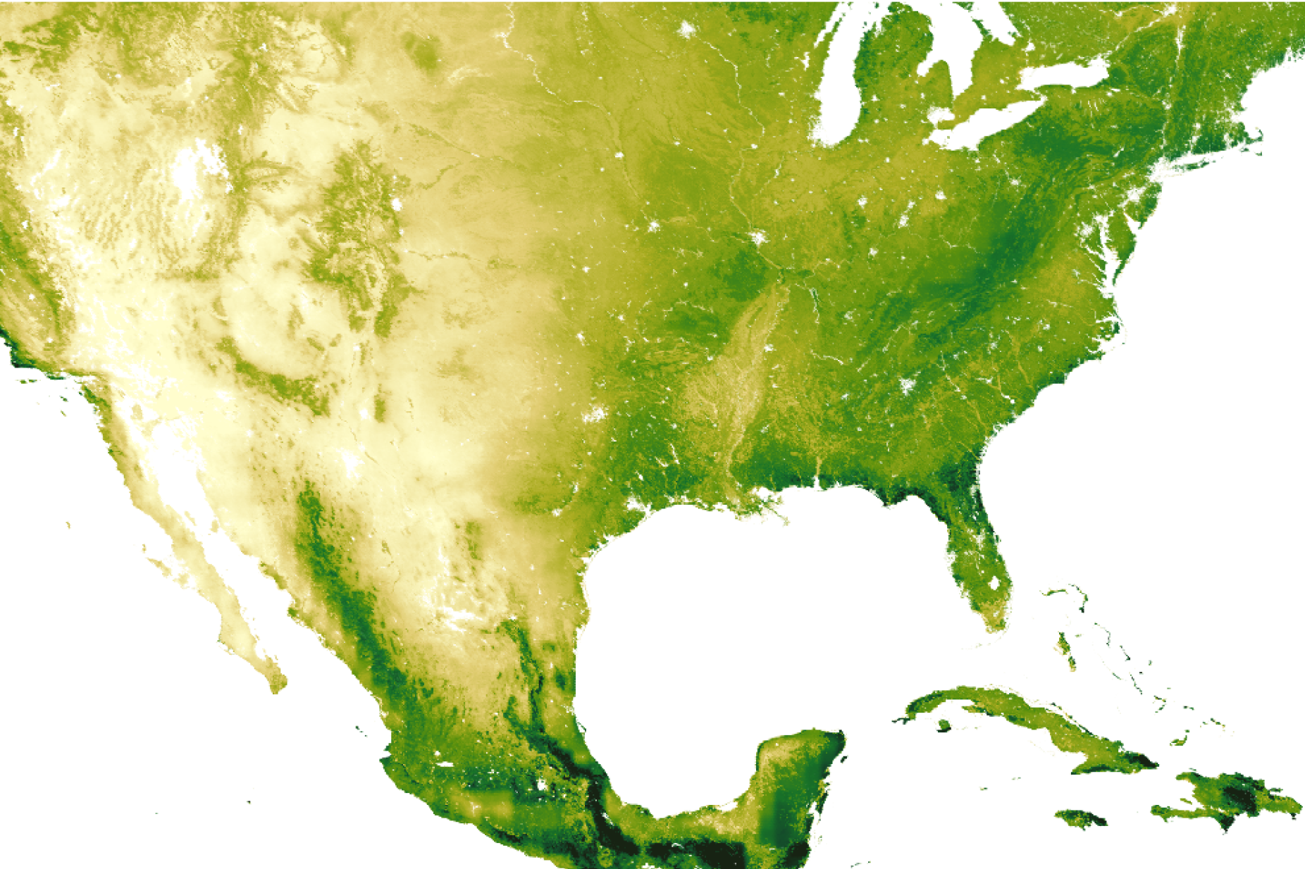
- Estimate aboveground forest biomass for an area of interest
- Conduct risk assessments for drought, fire and flood
- Produce content for reports to evidence your analysis


.png)