Environmental intelligence for financial decision-making
Turn nature risk into financial insight.
Earth Blox uncovers the impact of environmental change on your assets and portfolios so you can protect revenue, reduce risk and invest with confidence.
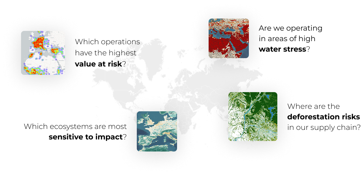
Analyse at asset level
Assess nature impacts and dependencies across assets and locations with transparent, repeatable analysis.
Scale across portfolios
Apply the analysis consistently across portfolios to benchmark exposure and reveal patterns.
Prioritise where it matters
Identify concentrations, outliers and emerging risks faster to focus attention where exposure is greatest.

Inside the UK’s largest nature risk assessment in agriculture
Lloyds Banking Group collaborated with Earth Blox to analyse 5.1 million hectares of farmland, identifying more than 1.2 million hectares with resilience-building potential.
Learn how we did it
How Earth Blox works
Earth Blox translates nature and climate risk into financial insights that organisations can integrate into capital allocation, risk management and operational decisions.
Define the question
We work with you to define the scope of analysis and map where environmental exposure and value sit within your existing risk, investment and operational processes.
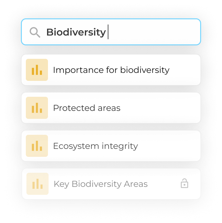
Assess nature impacts and dependencies
Apply standard Earth Blox workflows to assess nature impacts and dependencies across assets and locations, configuring them where needed for specific portfolios, sectors or risk priorities.
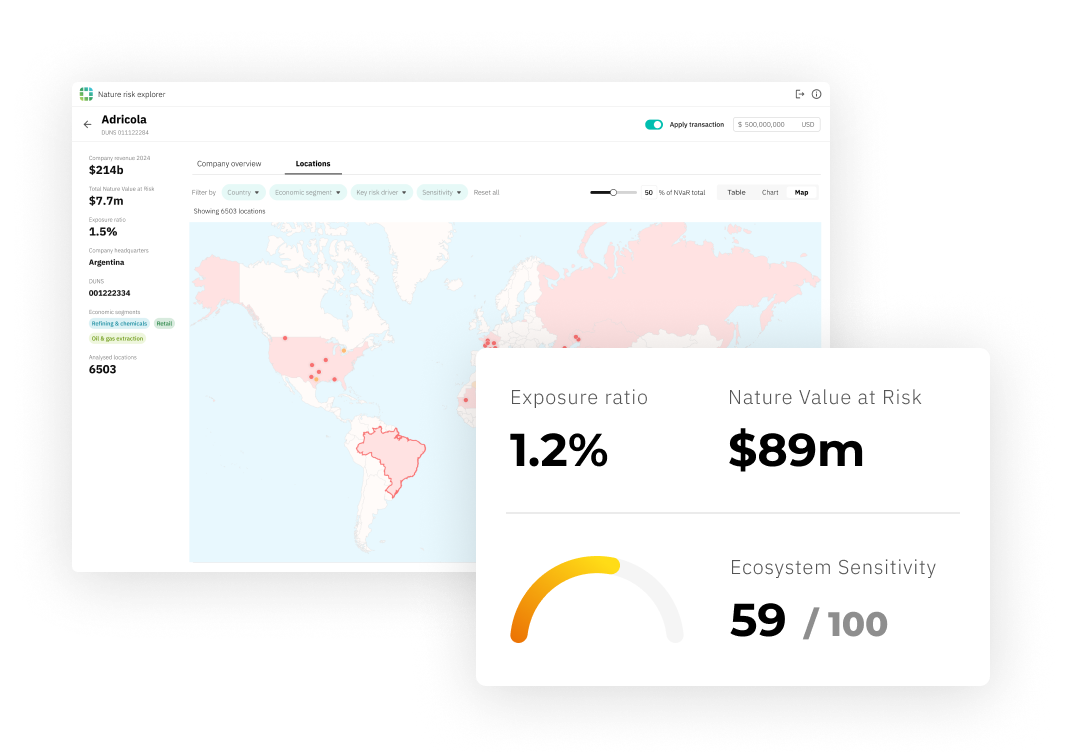
View the results
Results are delivered through a user-friendly dashboard that brings together insight at transaction, asset and portfolio level, highlighting patterns, outliers and concentrations so you can prioritise risk and focus attention where it matters most.
The Earth Blox team were instrumental in the creation of the biodiversity impact model we developed to monitor supply chain facilities.”
Lead data scientist, Global Bank
We work with organisations shaping the nature and climate transition


.avif)


