With the Geo for Good Summit just around the corner, it’s a good time to look at how Google’s geospatial analysis platform, Earth Engine, is used to power climate and social impact initiatives. Read on for examples covering disease control, freshwater ecosystem protection, and climate risk analyses.
What is Google Earth Engine?
Google Earth Engine (GEE) is an incredible coding interface for cloud processing of satellite imagery and data. The platform contains a multi-petabyte catalog of satellite imagery and geospatial datasets to detect changes, map trends, and quantify differences on the Earth's surface.
Launched in 2010, Earth Engine was made available for use by scientists and NGOs for research, education, and not-for-profit activities. This year, at their annual Sustainability Summit, Google announced it is opening up commercial access to GEE for businesses and governments. This means we can look forward to many more examples of Earth Engine being put to good work in the months and years to come.
Google Earth Engine examples of impact and sustainable projects
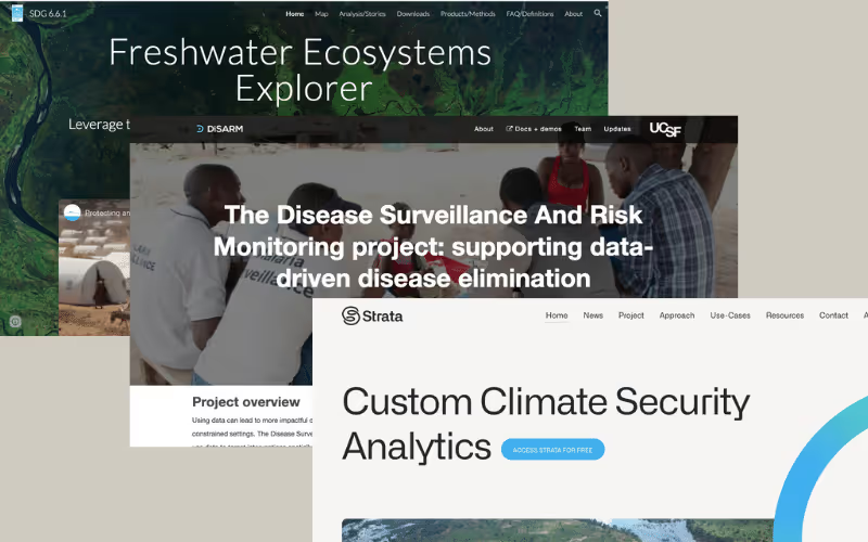
1. DiSARM, disease surveillance and risk monitoring tools from the University of California San Francisco
Malaria is one of the most severe diseases in the world. The World Health Organization’s (WHO) 2021 World Malaria report1 estimated 241 million malaria cases and 627,000 deaths caused by the disease in 2020. Mostly found in tropical and sub-tropical areas, it is the leading cause of death and disease in developing countries and primarily affects children and pregnant women.
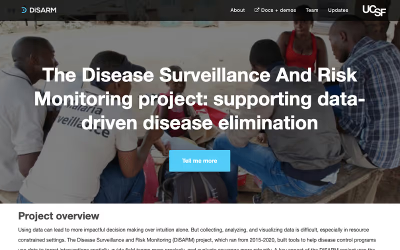
In 2014, the Malaria Elimination Initiative at the University of California San Francisco (UCSF), in collaboration with Peoplesized and the Clinton Health Access Initiative, set about building an online platform for health workers to predict where malaria was likely to be transmitted using climate, ecology, and infrastructure data from Earth Engine. Armed with these insights, on-the-ground teams can more effectively predict transmission risk and deploy resources to populations most at risk.
The Disease Surveillance and Risk Monitoring (DiSARM) project ran from 2015 - 2020, and although the project ended, SCSF has opened up access to the DiSARM algorithm and software code so that organisations working on disease prevention can continue to access this valuable data and insights. In 2018, Erin Stuckey, Program Officer, Polio, at the Bill & Melinda Gates Foundation reported DiSARM was used “by malaria programs in four countries in southern Africa to help plan, execute and monitor indoor residual spraying campaigns.” 2
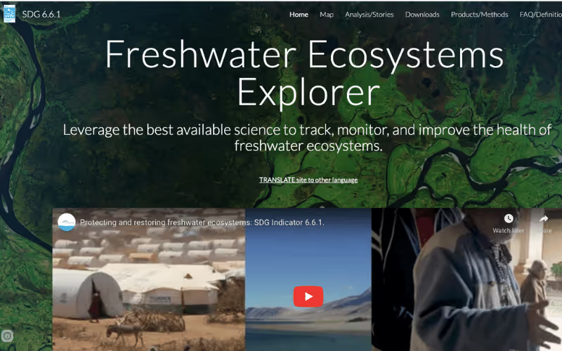
2. Freshwater Ecosystems Explorer, United Nations Environment Programme
This past summer has seen record droughts in Europe, with the Po river in Italy, the Rhine in Germany, and the Danube, which flows through most of Central and Southeastern Europe, all affected. A recent article by the United Nations Environment Programme (UNEP), raising awareness for World Water Week 2022, reported, “Over the past five years, one in five river basins has experienced fluctuations in surface water outside their natural range.”3
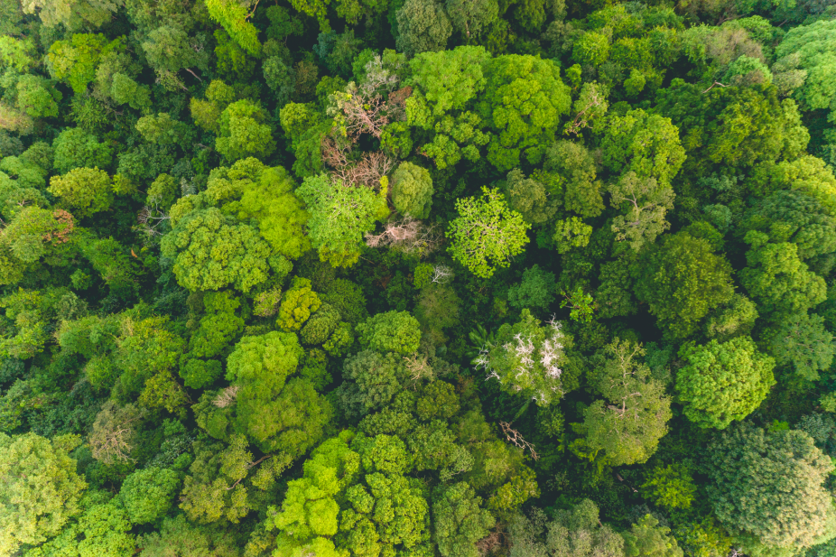
With freshwater ecosystems playing a vital role in mitigating climate change and supporting economic and sustainable development for billions of people, protection and restoration of our lakes, rivers, and wetlands is essential for our survival.
The Freshwater Ecosystems Explorer uses high-resolution geospatial data to show how freshwater ecosystems are changing over time. It was founded by UNEP, Google, and The European Commission, on the belief that data is the starting point for helping us understand our environment. Data for surface waters, reservoirs, wetlands, mangroves, and water quality is available at national, sub-national and basin levels. It is available to decision-makers in all sectors to enable them to prioritise protection measures. Take a look at the map and case stories from around the world here.
3. Strata, the United Nations climate risk analyses platform
With rising concerns over climate change came an increasing need for the United Nations (UN) to rapidly identify climate and environmental stress hotspots to provide early warning for conflict prevention, risk reduction, and resilience building.
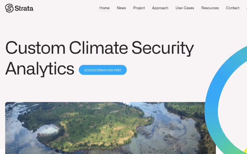
Led by the United Nations Environment Programme (UNEP), in partnership with the European Union and the Government of Norway, Strata was developed through a collaboration with the University of Edinburgh, Earth Blox, Google Earth Engine, and the Group on Earth Observations.
Strata integrates environment and climate stressors whose outputs can be analysed on Earth Blox, encompassing precipitation, flooding, fires, tree loss, and land productivity, among others. Strata is used by 300 users to obtain reliable insights for monitoring climate change, deforestation, urban expansion, and large-scale disaster mapping. UNEP provides an open dashboard to visualise pre-calculated climate security hotspots in the Horn of Africa and provides full access via registration here. Access the Strata platform here or read the Earth Blox case study for Strata here.
How Earth Blox accelerates the adoption of Google Earth Engine datasets for impact
Our partnership with Google allows us to integrate Google Earth Engine’s datasets and imagery into Earth Blox, giving businesses, governments, and NGOs accessible tools to support their mission to create positive social and/or environmental changes.
With Earth Blox, you get all the power of Earth Engine with a simple, no-code, drag-and-drop interface that anyone can learn. All your processing is done in Google Cloud, with no local storage required. That means you can create, run, and report complex queries in seconds, with the security of knowing you’re using trusted Google Earth Engine data, but with a level of speed and ease of use you’d never get if you had to do the coding yourself.
We support companies who are taking action for the United Nations Sustainable Development Goals, helping them to transition to net zero, monitor their environmental impacts, or operate with humanitarian or sustainability targets in mind. Learn more about how Earth Blox is used in Nature Based Solutions, Sustainable Supply Chains, and Forests and Deforestation.
Interested in learning more about how Google Earth Engine is used for humanitarian and sustainability efforts? Follow us on Twitter or LinkedIn.
References:
1. World malaria report 2021, World Health Organization.
2. 3 ways advances in disease modeling will help end malaria, Erin Stuckey, Program Officer, Polio, Bill & Melinda Gates Foundation.
3. Countries must step up efforts to protect freshwater sources, say experts, United Nations Environment Programme.