Earth Engine community drives tech solutions for APAC climate.
Watch the latest webinar: Manage nature project integrity with continuous monitoring and alerts
Watch here
Earth Engine community drives tech solutions for APAC climate.
The Asia-Pacific (APAC) region stands at a critical juncture, simultaneously driving and suffering the impacts of climate change. With its burgeoning population and rapid development, APAC is a significant contributor to greenhouse gas emissions, and its communities are increasingly vulnerable to extreme temperatures, floods, and sea-level rise.
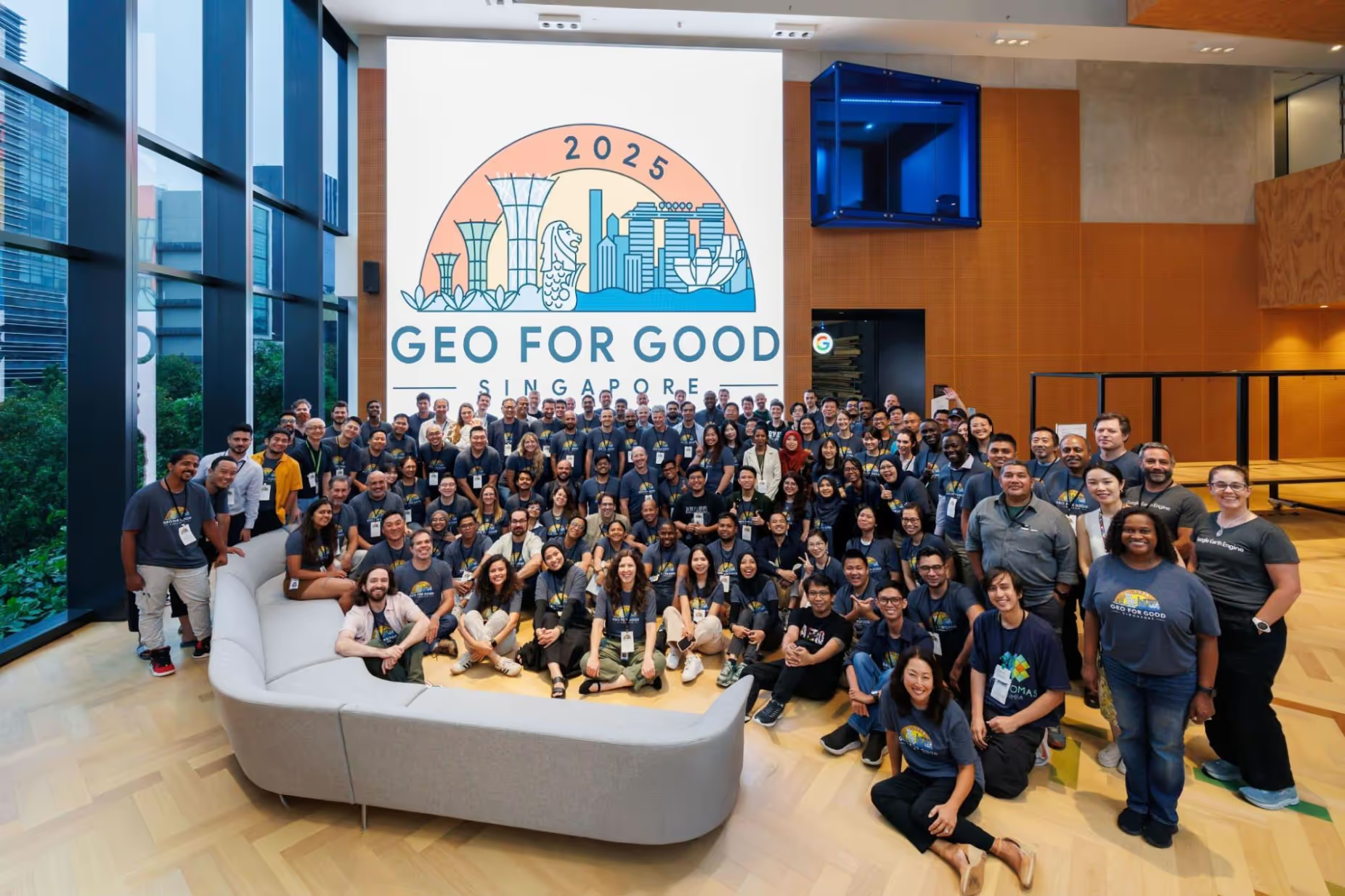
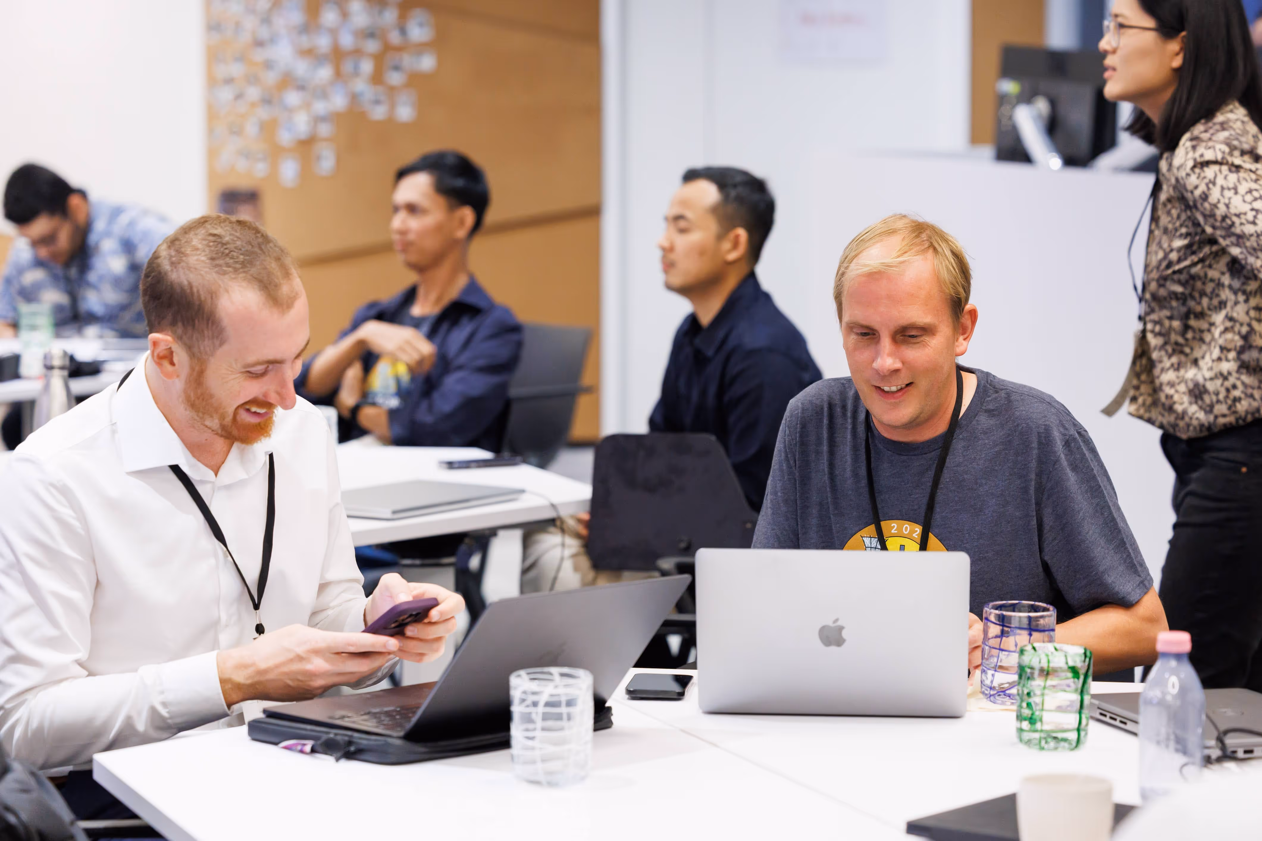
This month, Guillaume Attard and Carl Glaysher attended the Geo for Good Summit in Singapore, joining a global community of technologists, environmental scientists, AI specialists, and NGOs exploring the latest advances in Google Cloud Geography and the Earth Engine platform. Let’s explore their key takeaways from the event and what they mean for Earth Blox customers.
This year has marked a period of significant progress in the realm of geospatial interoperability, particularly concerning the seamless integration of Cloud Native formats within the Earth Engine ecosystem. The ability to natively leverage formats such as Cloud Optimised GeoTIFFs (COGs) and Zarr files through Earth Engine represents a significant leap forward in how we access, process, and analyse massive Earth observation and climate datasets. Why is this important?
These formats are rapidly becoming new industry standards, and the capacity to natively read and process them through Earth Engine fundamentally changes the landscape of geospatial analysis.
Beyond the new file format support, the conference highlighted the increasingly robust connection between Earth Engine and Google BigQuery. The synergy between these two technologies is transformative for organisations seeking to integrate environmental and climate insights into their financial and operational decision-making.
With this technology underpinning the Earth Blox platform, customers are already conducting large-scale, automated assessments across entire portfolios. This allows them to identify exposure to physical climate risks, such as floods, droughts, and wildfires, as well as transition risks driven by policy shifts or market changes related to decarbonisation.
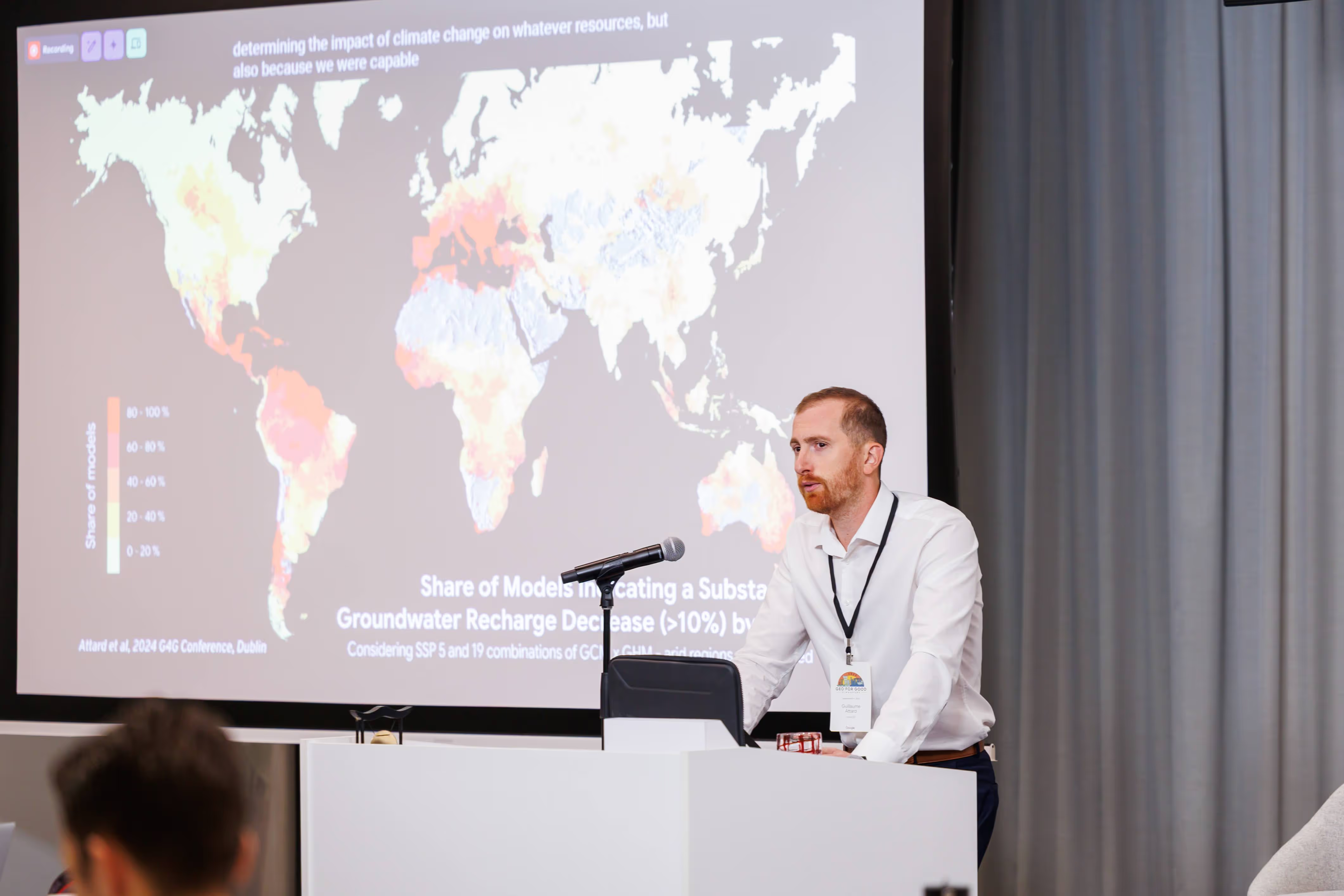
In a technical session titled "GCP & Earth Engine in Action: Practical Tools and Case Studies," Guillaume Attard, Google Developer Expert in Earth Engine, shared the Google Earth Engine App, Climate Change Impact on Water Resources, a collaboration developed by AGEOCE and the University of Frankfurt.
This app allows a user to explore the uncertain future of global water resources using a novel dataset and model ensemble workflow. By assessing agreement across multiple climate and hydrological models, the approach provides insight not only into projected water resources but also into the level of confidence in those projections, a critical input for informed adaptation planning.
The session then demonstrated how this type of dataset could further enhance climate and nature metrics delivered through Earth Blox. For customers conducting large-scale portfolio analysis, it represents a pathway to even more targeted, science-based insights. When integrated, such datasets can help organisations:
To learn more about the Climate Change Impact on Water Resources dataset or explore how it could be integrated into Earth Blox, contact us here.
The Google Satellite Embedding dataset is a groundbreaking new resource that offers a novel approach to Earth observation data. At its core, this dataset is a global, analysis-ready collection of "learned geospatial embeddings." Unlike traditional satellite imagery, where bands directly reflect physical measurements (e.g., red, green, blue light), each 10-meter pixel in this dataset is represented by a 64-dimensional embedding vector. This vector intelligently encodes the temporal trajectories of surface conditions at and around that pixel over an entire calendar year, summarising relationships across multiple data sources and modalities in a more abstract yet powerful way.
The dataset is built upon AlphaEarth Foundations, a virtual satellite model designed to summarise Earth's surface dynamics across space and time. This model learns meaningful patterns from diverse Earth observation (EO) data streams to generate these spatially and temporally precise embedding vectors. The training sources are extensive and multi-modal, including optical data from Sentinel-2, Landsat-8, and Landsat-9; SAR data from Sentinel-1A/B and ALOS PALSAR; elevation data from Copernicus DEM; LiDAR data from GEDI; climate variables from ERA5-Land; gravity field data from GRACE; and land cover information from the National Land Cover Database. The model also incorporates text embeddings from Wikipedia and GBIF, indicating a sophisticated integration of various data types.
This dataset is significant because it provides a foundational layer for a wide range of Earth observation applications, making complex analyses more accessible to practitioners. The outputs are designed to be useful "as-is," acting like an AI-powered image composite.
With its broad applicability, the Satellite Embedding dataset could enhance the insights available to Earth Blox users in several powerful ways:
The Google Satellite Embedding dataset, available in Earth Blox, promises to streamline and enhance geospatial analysis by providing a powerful, pre-processed foundation for various applications.
This year’s Geo for Good Summit in Singapore marked a turning point. From a technological perspective, this edition showcased a significant leap forward for geospatial analytics: unlocking the power of embeddings, pushing interoperability with platforms and formats that are widely used across the industry, and opening the door to new applications.
Beyond the technology, it is also clear that all the right ingredients are now in place to meet a growing demand, enabling organisations to report on sustainability in a robust and transparent way. The progress feels like a direct response to those needs.
We leave the conference energised and inspired. G4G 2025 has been a fantastic reminder that we are not only advancing technology; we are also shaping the future of a geospatial industry that can drive a global positive impact.
Guillaume Attard is a Google Developer Expert in Earth Engine (since 2022) and a member of the Geo for Good Programming Committee. A geoscientist specialising in hydrology and environmental engineering, his work has supported engineers and policymakers in developing strategies for environmental protection and sustainable resource management.
Carl Glaysher is a Lead Developer at Earth Box, specialising in geospatial and Google Cloud technologies and has sixteen years of experience in full-stack application development, working in e-commerce with clients ranging from NHS and Sennheiser.


