Earth Blox helps researchers measure and analyse changes on the planet using satellite data. This case details how conservation and biodiversity scientist Alice Peace used Earth Blox to analyse forest loss for the Siberian spruce.
The Challenge
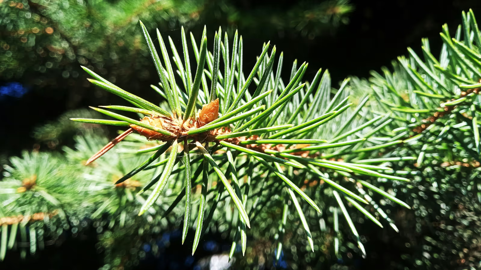
When conservation and biodiversity scientist Alice Peace was studying for a Master of Science in the Biodiversity and Taxonomy of Plants at the Royal Botanic Garden Edinburgh, she collaborated with the International Conifer Conservation Society (ICCP) to investigate the threats to the Serbian spruce (Picea omorika).
She designed a research project that combined novel satellite remote sensing data, species occurrence records, and present and future climate data to map and quantify the threats to the conifer across Europe.
Alice planned to carry out most of the analysis in R, using Maximum Entropy Modelling for future climate projections and visualising results using QGIS. However, with a limited coding background, she found learning how to write and adapt code time-consuming.
"I didn't have the skills to understand where my code wasn't working or the time to commit to learning this within the three months that were allocated to this project," says Alice.
Solution
After struggling with R, Alice was introduced to Earth Blox through her supervisor as an alternative tool for her EO analysis.
"Earth Blox allowed me to work with data, run analyses, and visualise results in a way that was easy for me to understand with a limited coding background." she says.
She continues, "I was able to access Google Earth Engine datasets to calculate annual forest loss and fire damage for Picea omorika over the last twenty years using the inbuilt workflows, which were easy to edit. The ability to import occurrence data, run analyses and visualise results on the map, then export these as graphs and charts saved a lot of time and provided a series of excellent figures for my thesis."
Results
Alice says she found Earth Blox much more intuitive to use compared to writing code in R, and the time she saved meant she was able to focus on her research and complete her project by the deadline.
“I used Earth Blox to build and run satellite image analyses in minutes, to produce output that I could easily export to combine with additional analyses, using MaxEnt and QGIS to understand current suitable climate space for Serbian spruce and how this is likely to change in the future,” Alice Peace, conservation scientist.
Alice hopes her research will facilitate future conservation action and implementation of long-term management plans for the preservation and restoration of populations of Serbian spruce.
Read more about Alice's study here: Protecting the Serbian Spruce: using satellite data in biodiversity and conservation research.


