At Earth Blox, our mission is to increase access to big Earth data to accelerate the transition to a much more sustainable, equitable and inclusive world. We do this through a no-code interface to Google Earth Engine. So it was a great honour to be invited to demonstrate Earth Blox during the Earth Engine for Non-Coders session at the Geo for Good 2022 Summit in Mountain View, California last month.
Watch the recording of the Earth Blox demo at Geo for Good here.
In this video, our CEO Dr Genevieve Patenaude demonstrates how impact-driven philanthropic foundation ADMCF uses Earth Blox to select and assess Nature Based Solutions (NbS) projects and monitor their performance as they work to address environmental and social challenges across Asia.
At Geo for Good we announced the launch of an early access program that will give data scientists and analysts access to Earth Blox for free for a limited time. The program is part of our plans to extend subscription options for Earth Blox to benefit a wider range of users across different disciplines with no Earth observation expertise, furthering our mission to provide accessible environmental intelligence at scale to drive sustainability initiatives and climate change mitigation worldwide. Register for the early access program here.
Interested in the full Earth Engine for Non-Coders session led by Google’s Karin Tuxen-Bettman? Watch it here.
Video Transcript
I'd like to introduce my co presenter, Genevieve Patenaude. She's gonna take over a little bit in the middle and talk to you guys about Earth Blocks, which is a company and a tool that they are developing to basically give a no-code interface to Google Earth Engine, and data science remote sensing tools like that. So I'm really excited for her to demonstrate what the tool is, and to answer your questions at the end.
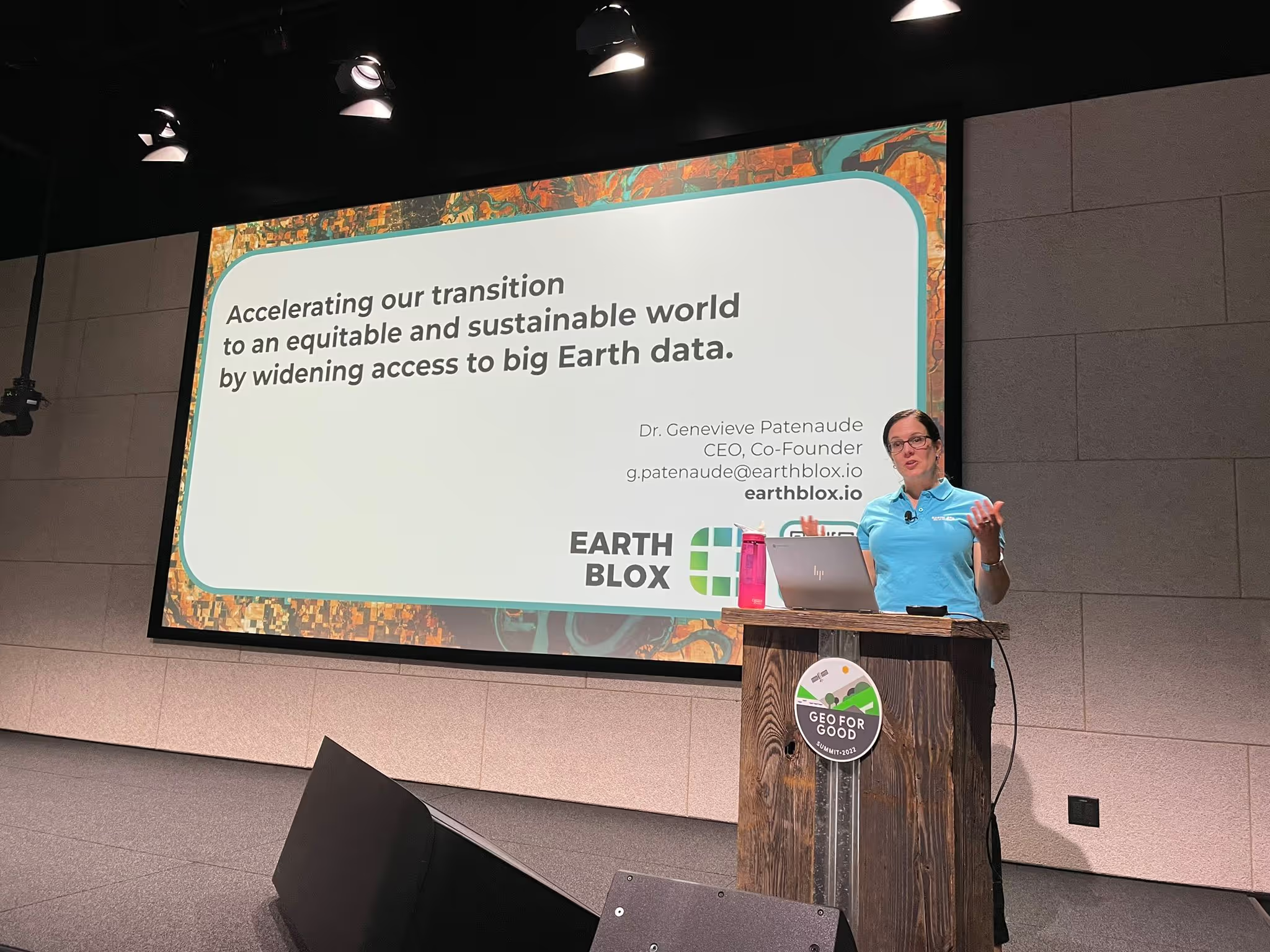
So first, it's a real pleasure to be here. Thanks Karin. It's really nice to be here in person after all those years working, you know, virtually. So thank you very much for joining the session. So Earth Blox in a sense our mission is very much aligned with the Geo for Good community, to widen access to big Earth data, and especially to accelerate or transition to a much more sustainable, but also much more equitable and inclusive world.
So I haven't really introduced myself, I'm Genevieve Patenaude, I'm the CEO of Earth Blox. Earth Blox is a no-code platform that sits on top of Earth Engine. I'm also Associate Professor at the University of Edinburgh and my co-founder is here, Iain Woodhouse, Professor and Chair in active remote sensing.
So, before I present Earth Blox, I want to share the reason why we created Earth Blox. And it's no surprise here in this room that the planet is actually in a dire state. And really, the reality of having delayed action, and of having no action at all are just unthinkable, really. So I like to make a parallel between human illness and planetary illness here. When someone around us is really ill, you know, whether affected by cancer or something very simple, like food poisoning diabetes, mental illness, it's really important to get a fast diagnosis and fast treatment. And that's essential for not only recovery and survival, but also for ensuring that you have a long quality of life.
But it's no different with our planet. We need tools that are fast, to allow us to diagnose and treat where the planet is suffering. So that's why we created Earth Blox. So Earth Blox sort of sits on the game changer that is Earth Engine to help those that actually are active on the ground to really transform and create that sustainability future, that sustainable future that we're looking for. The no-code interface really helps you customise your analysis in a way that is based on your unique needs. So what we're not doing is giving you a platform that answers completely your question, we're giving you the tools to answer the question because you are the domain expert in your field.
So you don't need to know JavaScript, or Python, with Earth Blox. You also don't need to know in depth understanding that the pictorial libraries of all the different data collections that we find in Earth Engine, because every single data set is actually quite unique, as you've seen with the band labelling and all these things, so it requires quite a lot of knowledge. So we do the work in the background for you. So you don't have to have that expertise. In a sense, you're the doctors, and we're the pharmacist, you're the one that diagnose and that treat. And we're the one that gives you the tools to do this.
So I've met with many of you over the past couple of years and what we find in common, the commonalities between all of you, whether you can code or not, is that we're all running out of time. It's always urgent, there's always so much to do. And you have basically told me that what you need is something that's fast and efficient. And that's why we created Earth Blox and we're offering today that you have access to Earth Blocks for free for a period of time. So we've distributed cards on your on your table, if you're interested. There's a QR code there. You can join us and that's for you to tell us what works for you. You know, how do you want us to build Earth Blox so that it really helps propel your work.
So let's now dive into how Earth Blox works. And I'm going to use a use case here. So Ashley Bang is one of our users, she's Head Data Scientist at ADM Capital Foundation, which is a philanthropic organisation, a foundation that really focuses on environmental and societal issues across Asia.
What she's interested in is really helping support communities and, and conservation efforts in South East Asia. So she's looking to fund projects and to support projects where you have a confluence of different interests. So you may have, for instance, areas that are highly biodiverse. But at the same time, where some species are threatened, you may also have communities which, you know, require some kind of support for livelihoods. But you might also have areas where you have commodity productions, which are providing increasing pressure on the natural ecosystem surrounding the area. So basically, she's looking to find areas to support and fund.
As a first time user, Ashley would onboard on Earth Blox and she would be given some training with a very quick video, which we're going to skip now for interest of time, then after training, the first initial training, she would be given the choice of an area or a sector that she's interested in. So she may be interested in algae bloom or forest cover. And that would allow us to guide her through a workflow that she would build right.
Now, once she's selected the focus of her work, she lands into the main interface of Earth Blox. So that's where you learn. And here I just want to sort of describe the vocabulary that we use in Earth Blox. So this here that you see highlighted is a workflow. And our workflow is, in a sense, is almost a Lego construction, is how you assemble blocks to create a solution that is suited to your needs. On the I mean, there'll be your left, I guess, on the left here is where you find all the blocks. So there's a collection of blocks, and they're grouped into three categories.
The blue blocks are the input blocks, and the input blocks are where you define what you're interested in. So you define the area you're interested in, you define how you want to play with your collection, whether you're wanting to remove clouds, or include clouds, you define the dates that you want to look at, and so on.
The yellow blocks are where you analyse, you have classification, change detection time series, various band mats that you can do algorithms. And you also have access there to various indices that are very specific to the work that you're interested in.
So that's an example of a result, after running this in this case, here, it's a very simple workflow, just for the case of showcasing here, you would press play. What we've done here is we've selected the UK, and we're showing elevation data for the entire of the UK. So now let's look at something a little bit more complicated, something that's relevant to what we've just done with Karin. So classification. Ashley, in this case, is interested in finding out where can I see where there are industrial and smallholder palm oil plantations that are surrounding built environments. So that's villages where we can also find more old growth and natural forest and agriculture. So areas where you have the confluence of different interests. So this is how you would run our workflow. So you could either, here we're focusing on Borneo, you could either draw your area of interest or basically upload what we call a shape file, you add to map and we're now focusing on the area of Borneo.
Now, you drag and drop and pull down the menu to identify which dataset you're interested in, within the collection of Google Earth Engine. In this case, we've chosen Landsat and here we've done the work to assemble all the Landsats together so they're unified. And I identify here that I'm interested in this area not in a country just this area in particular.
Now I drag and drop the date and note that our blocks are dynamic. So the dates are associated with the dataset there, it doesn't give you below 1982. Because Landsat is not available in that case, then. So we're here, we're looking at two years, because it's a very cloudy region, right? We're in Borneo. So we're, we want to make sure we're gonna have some images from all the images that have been collected. Between those two years, we're going to now filter those that filter out, we're going to bin the ones and the pixels that have more than 70% cloud cover. And now I'm going to create a composite image, a composite image, it's almost a, a sort of summary, image synthesis image, combining all the best stuff from all the images that I've kept in my collection. So we're not going to see it.
Now I'm just saving this because I want to use this in my classification. So I'm saving this as a Landsat composite. And I indicate the date and because I work in a team, I'm just telling the team what I'm doing, so that they can use that workflow later on. Now I'm bringing a new data set here, we're going to use SAR data. So Karin spoke about the micro electromagnetic spectrum. And here I'm playing with microwave data. And SAR is really helpful to pick up on structure of assets on the ground. So now here, I'm looking at creating a composite over every month of the year, because I'm interested in looking at how different land cover changes over the year. So agricultural fields will change a lot, they'll be harvested where a forest will stay the same. So that will help me in my analysis.
Again, here, I'm just tidying up a little bit my workflow. And here I'm going to do my analysis. And you can see there's plenty of other blocks. But here we're focusing on classification. So you'll see that I'm selecting the algorithm, random forests, but if I were to press the drop down menu, you would have all the other classification algorithms available to you. So this now brings the two data sets that I've just created, that I'm now inserting to create my classification. And I'm now creating a map layer that is going to be inserted here, so that I can see. So that's allowing me at the moment to identify a palette of colours, where you can really discriminate between the different line covers, so I have some flexibility as to what I can do. I like a tidy space. So I'm just cleaning up, I wish my kids were like that, too.
So what we're going to see now is that the different land classes, the legend is going to show us what's going to come out as our analysis. So the dark green are the trees, we have the really dark sorry, the really dark, dark trees is palm oil plantation and the teal is sort of smallholder palm oil plantation. And then you have the sort of more lighter green, that's the trees, and where you have the red and the orange is where we find the villages and the surrounding agricultural fields. And again, here, just like in Google Earth Engine, you have access to all your confusion matrices, and your accuracy of your classification and so on. So that gives you, hopefully, a good overview of how Earth Blox works. It really does provide the power of Earth Engine, but for those of us who are not coders, but still want to really benefit from the power of satellite imagery and spatial data in a no coding way.
So that really gives Ashley the possibility to be in a driving seat. She can take her analysis in whatever direction she wants. And ultimately, it doesn't stop at the classification where she's identified the land use, she can actually look at night-time lights and see okay, out of those villages, which ones have access to electricity, and which ones do not. She can also do change detection to see well, where do we see it? Illegal deforestation happening, she can do time series to see well, what historically has happened in this area over the past 20-15 years, and so on. So that gives her a lot of power to conduct her own analysis in the way that she wants.
So that's just to conclude some small little tips that can help you really accelerate your work. Our blocks are dynamic, and they're intelligent. So every time that you pull a data set, like in this case, I'm showing Sentinel Two, you'll see that it adjusts the date range. So you don't have to look. Every time that you're uploading a data or working with a certain data set on to know when this data is available for it does that for you. We also created dynamic banding, and standardised banding.
So one of the key complications of the sensors is that they each have a different way to label their bands, we just basically use the English language, a red band is a red band, no matter what sensor you work with, near infrared is near infrared. So it's standard notes throughout. We also have dynamic indices. So if you work with radar data, it won't show you these indices, I'll show you different kinds of these indices so that you have indices specific blocks. So I'll cut this short because I understand we're running a little bit over time here. But if you're interested in working with us, we're really keen to make this tool for you guys, right. We're a purpose driven company. We really want to accelerate your action on the ground. So scan the QR code, come and join us in you know, use our tool and tell us how you want Earth Blox to develop in the future so we can really leave a positive impact on this planet for the future. Thanks.


