September 27, 2022
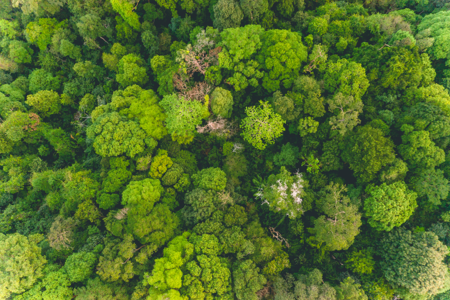
See how to run fire risk and damage analysis in Earth Blox in this one minute video. In this example, we look at the edge of the city of San Jose, California. Using a drag-and-drop workflow designed to look at fire damage over time, we see that over 8000 hectares of forested areas were impacted.
Earth Blox gives you the tools to analyse Earth Engine datasets in minutes, without having to code. All the data can be exported directly from Earth Blox as a spreadsheet or in a GIS-compatible format.
Learn how anyone in your team can detect changes, map trends, and quantify differences on the Earth's surface using Earth Blox in this webinar.